Drought Stress Detected
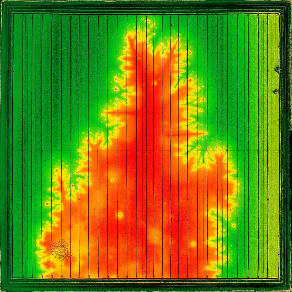
Vertical green stripes show healthy crop rows. The wide red/orange triangle through the center is moisture stress — a likely broken irrigation line or low-spot drainage problem. Investigate before the damage spreads outward.
Grow healthier. Fly smarter.
Aerial spraying, fertilizer application, multispectral crop health scouting, and 3D farm mapping — done for you by Advanced Transport Canada approved pilots. We fly. You grow.

Dedicated spray trailer, water tender, and battery rotation on-site — so a 500-acre weather window doesn't become a 3-day job.
Modern aerial application built around real-world limits.
No field crews to schedule. No seasonal labor to manage. No uncertainty when workers don't show up.
Lower carrier volumes and precision droplet control mean smarter water use and less soil impact.
Steep slopes, muddy rows, fragmented parcels — treated without compaction or equipment damage.
Deploy quickly and hit narrow weather windows before conditions shift.
Serving high-value agriculture, managed lands, and infrastructure across British Columbia and the Prairies.

Terrain-ready coverage for orchard blocks — steep slopes welcome.
Learn More
Precision aerial application across steep, terraced, and fragmented parcels.
Learn More
Efficient deployment for high-value yields and tight spray windows.
Learn More
Targeted weed control across grazing and pastureland.
Learn More
Steep, remote, and difficult-to-access blocks handled with precision.
Learn More
Vegetation management for utility corridors and infrastructure.
Learn MoreFungicide application with cm-level precision and zero soil compaction.

Dry and liquid fertilizer application — variable rate, prescription-driven, evenly placed.
Photogrammetry maps and 3D models of your farm for drainage, planning, and yield analysis.
Multispectral NDVI scouting to find stress, disease, and irrigation issues before you can see them.
Corn, soybean, wheat, canola — fungicide passes and rescue sprays on the day the window opens.
Tight rows, sloped blocks, and trellised canopies. The drone follows the terrain instead of skipping it.
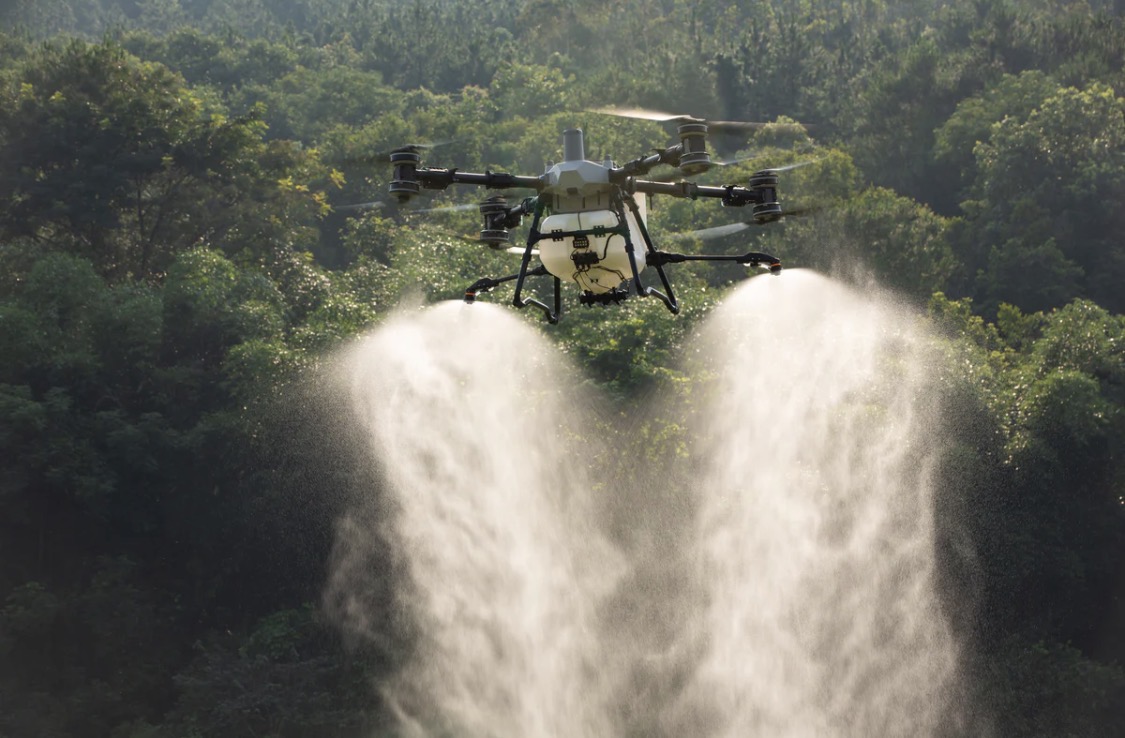
Blueberry, raspberry, hazelnut, hop. Low-drift atomized droplets keep product on target leaves.
Spot weed control across grazing ground without dragging a boom over rough country.
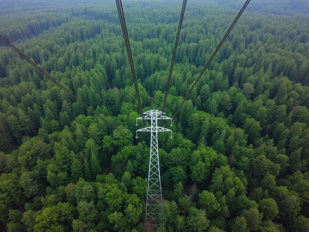
Steep, remote, and access-light parcels — flown from a forest road instead of a logging trail.
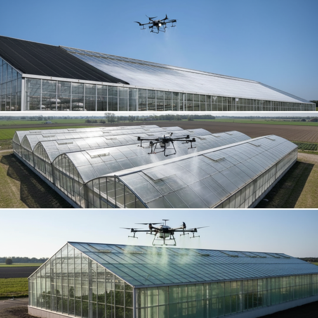
ReduSol coatings on and off the glass without scaffold towers or roof crews.
Tens of thousands of flight hours across the Pacific Northwest — every job tracked and reported.
Variable-rate prescriptions from our scouting maps cut inputs while protecting yield.
3D farm models and NDVI crop health maps delivered to your phone within a day of flight.
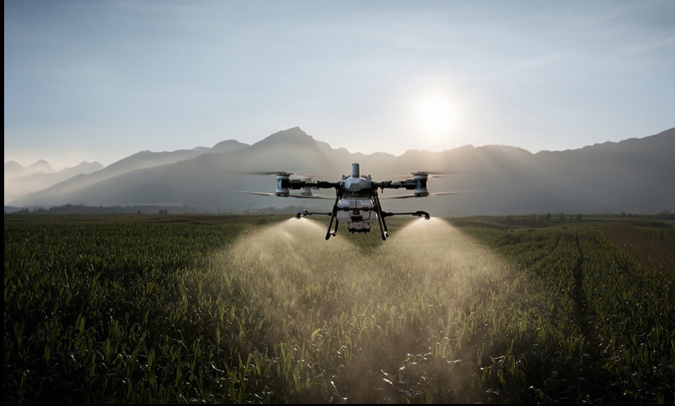
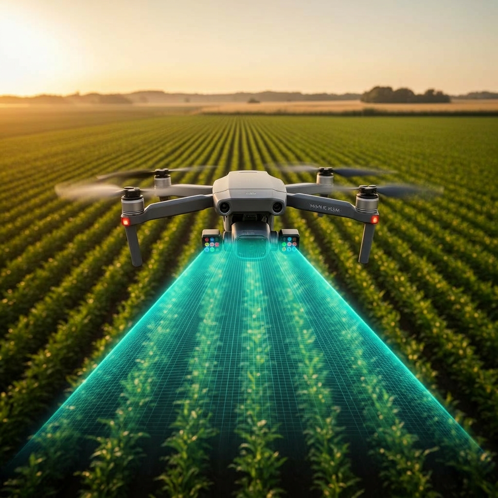
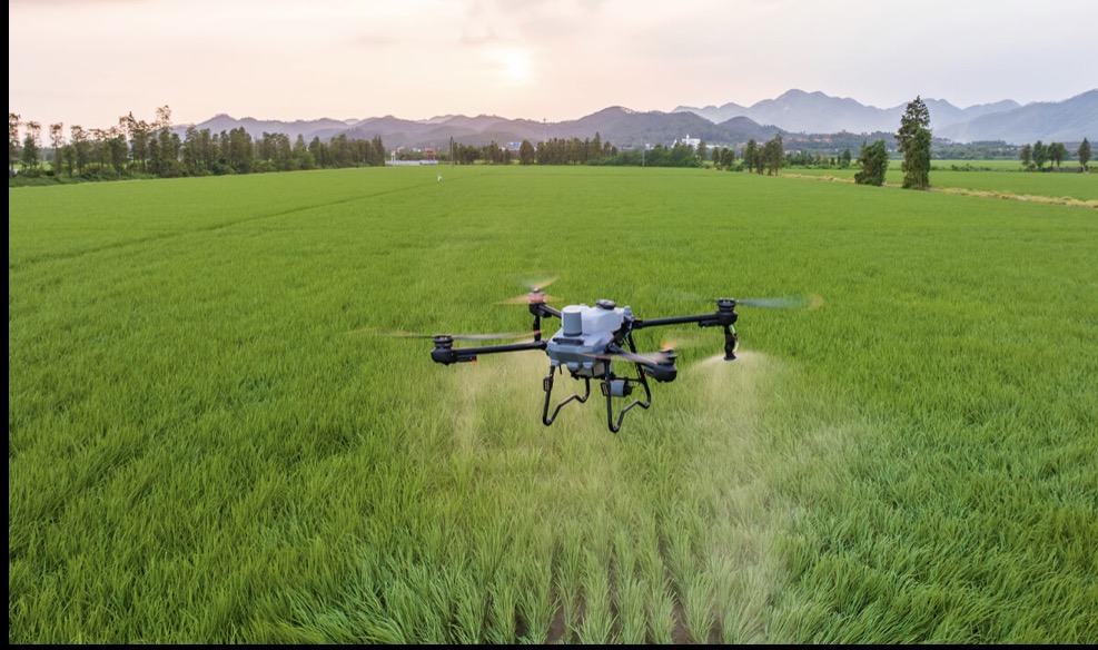
Real flights, real fields. From sunrise corn passes to misty orchard canopies — this is what every job looks like from the air.


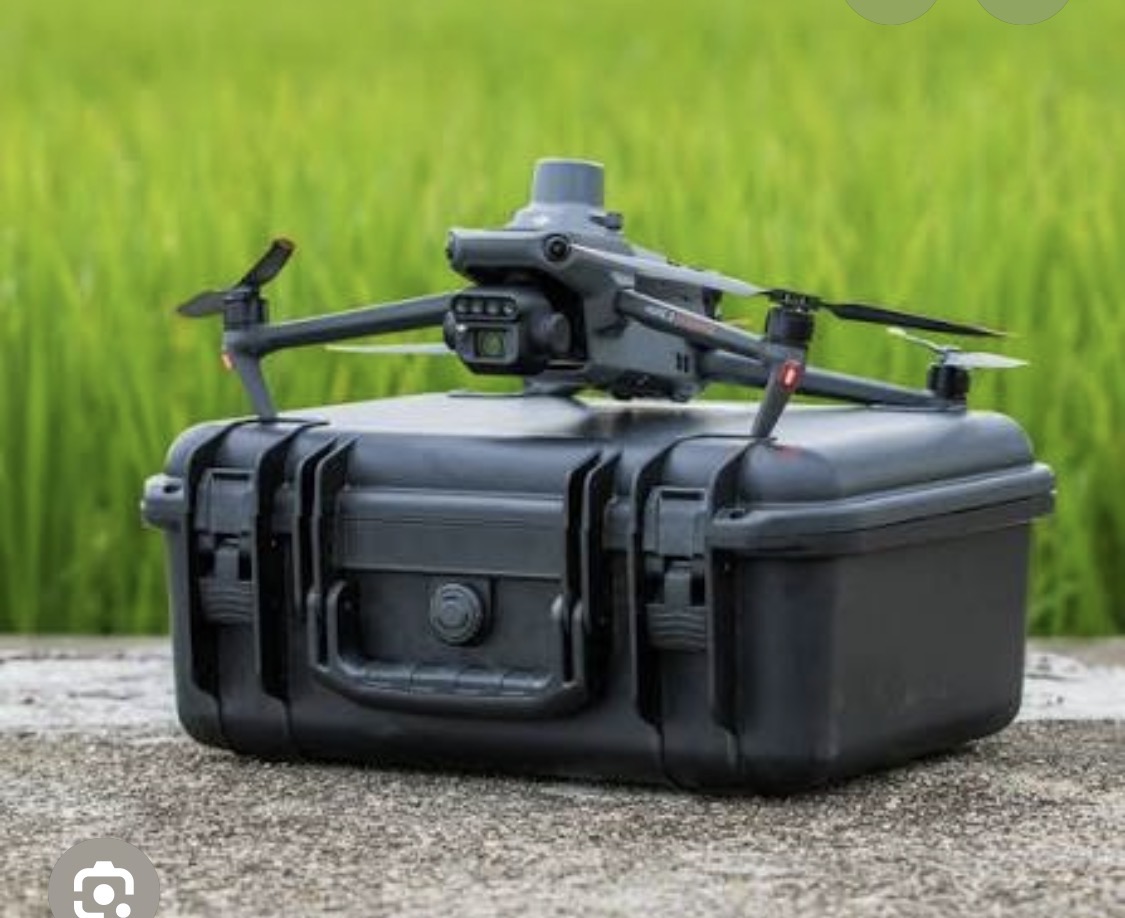
Our DJI Mavic 3 Enterprise captures thousands of overlapping photos that we stitch into a centimeter-accurate 3D model of your farm. Walk your fields from your laptop — measure drainage, plan tile runs, calculate volumes, and track changes season over season.


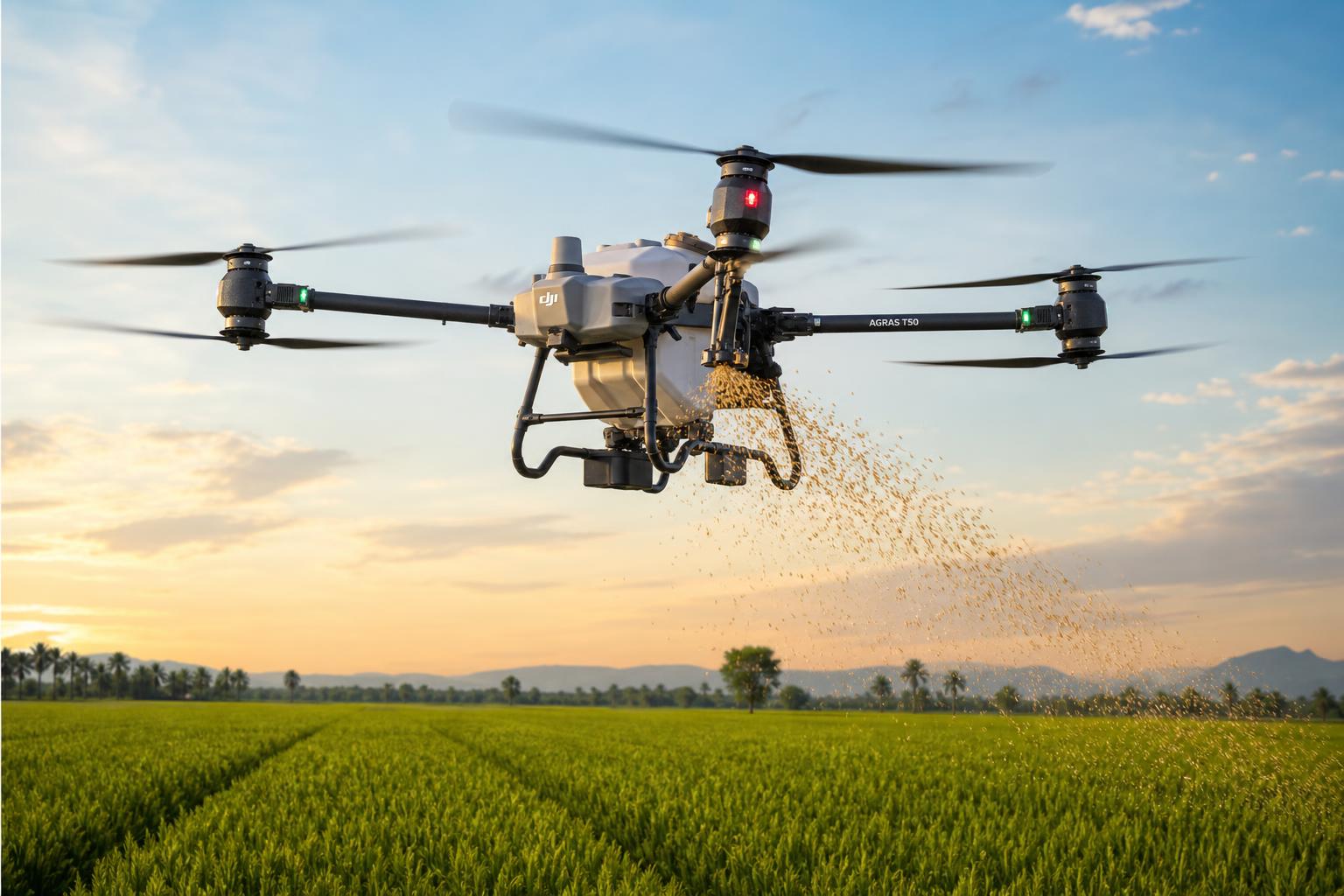
Our DJI Agras T50 broadcasts cover crop seed, dry fertilizer, and pasture overseed at up to 50 kg payloads and 40+ acres per hour. Fly over standing corn, soybeans, or wet ground that ground rigs can't touch — no tire tracks, no soil compaction, no waiting for fields to dry.
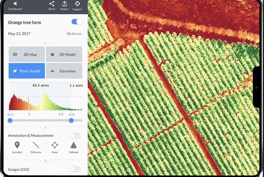
NDVI (Normalized Difference Vegetation Index) measures how much near-infrared light your crop reflects vs. red light. Healthy plants reflect lots of NIR. We deliver every NDVI map with a legend, zone breakdown, and acreage callouts.

Vertical green stripes show healthy crop rows. The wide red/orange triangle through the center is moisture stress — a likely broken irrigation line or low-spot drainage problem. Investigate before the damage spreads outward.

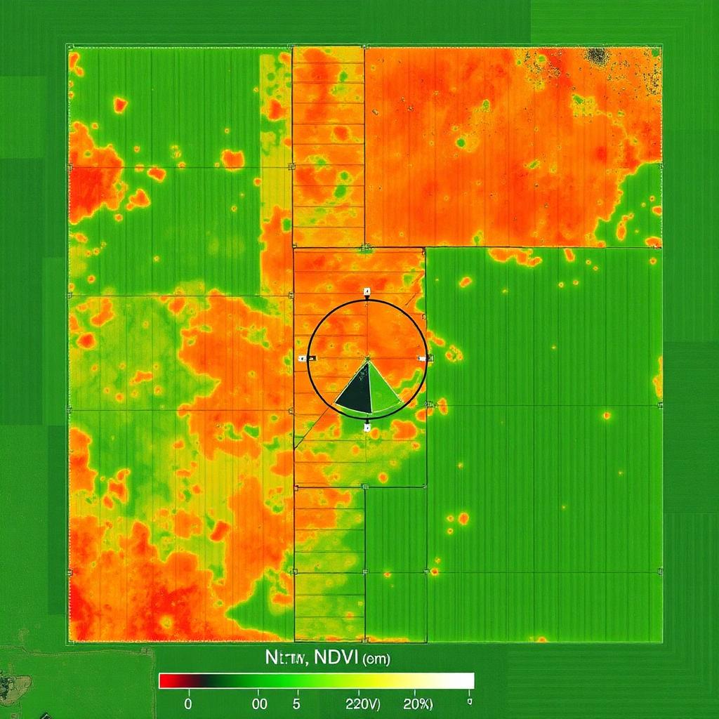
Healthy green dominates the right half. The central pivot circle has a clear wedge of red — a clogged nozzle or stuck pivot arm. The left half shows scattered orange clusters indicating early disease pressure. Schedule a re-fly in 7 days.

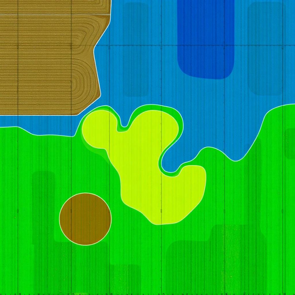
Same field, converted into 4 management zones. Blue = increase rate (low vigor), green = baseline, yellow = reduce rate (already vigorous), brown = skip (bare soil or waterway). Exports as shapefile or ISOXML for your sprayer.
NDVI runs −1 (water/bare) to +1 (peak vigor). 0.5+ is generally healthy crop.
Stripes follow planting rows. Circles point to pivots. Hard edges suggest equipment misses.
Spreading red zones = active problem. Shrinking red zones = recovery.
Walk the worst zones. NDVI tells you WHERE — boots on the ground tell you WHY.
"Skyline's NDVI maps showed a nitrogen deficiency two weeks before I'd have caught it. Saved the field."
"They sprayed my orchard rows without damaging a single tree. The 3D map of my property is a game changer."
"Cut my chemical bill by a third with their prescription maps. Pros from start to finish."
Pick a service and your acreage to see an instant estimate and refundable booking deposit. Lock in your weather window below.
Share acreage, crop type, location, and goals. We review terrain, access, and regulatory considerations.
We provide straightforward pricing based on gallons (liquid) or pounds (dry) applied — no hidden fees or terrain surcharges.
We coordinate weather windows, site access, and product logistics to ensure optimal application conditions.
Application is completed efficiently with GPS accuracy. You receive confirmation and visual documentation for your records.